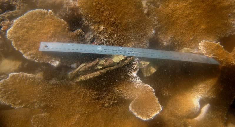
The top image, taken on June 13th 2008, shows the rope tethered around the
Offshore methods involved tow-boarding and scuba diving. Tow-boarding was performed when depth and visibility were optimal. Thus, given the shallow nature of the marine reserve tow-boarding was the dominate method used. Scuba diving was restricted to the deeper northwest corner of the reserve.
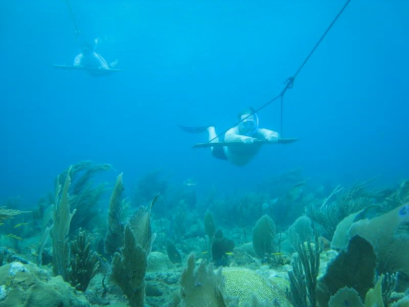
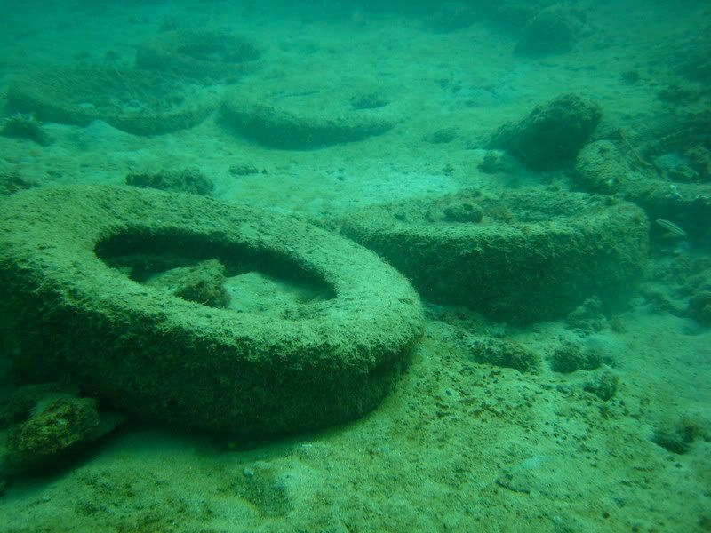
Above is an image from early August of volunteers Quenton Dokken, the executive director of the Gulf of Mexico Foundation, and Daphne McFarlan from the National Oceanic Atomospheric Administration (NOAA) restoration center, monitoring the marine reserve for debris while tow-boarding. Using this method enabled us to find new areas of marine debris. Below is a tire garden discovered while tow-boarding.
Each item found was marked with a waypoint for future removal with volunteers.
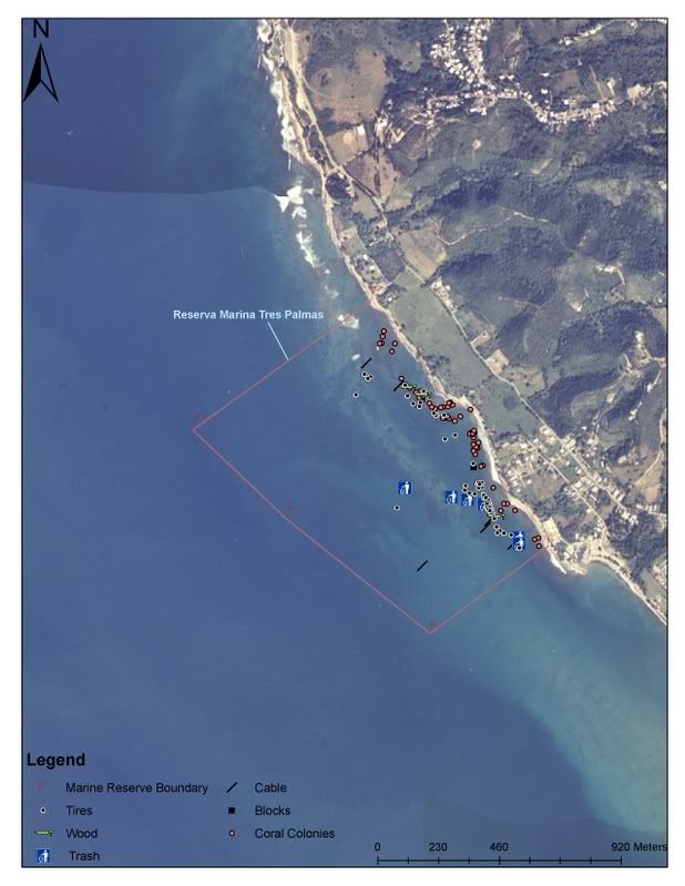
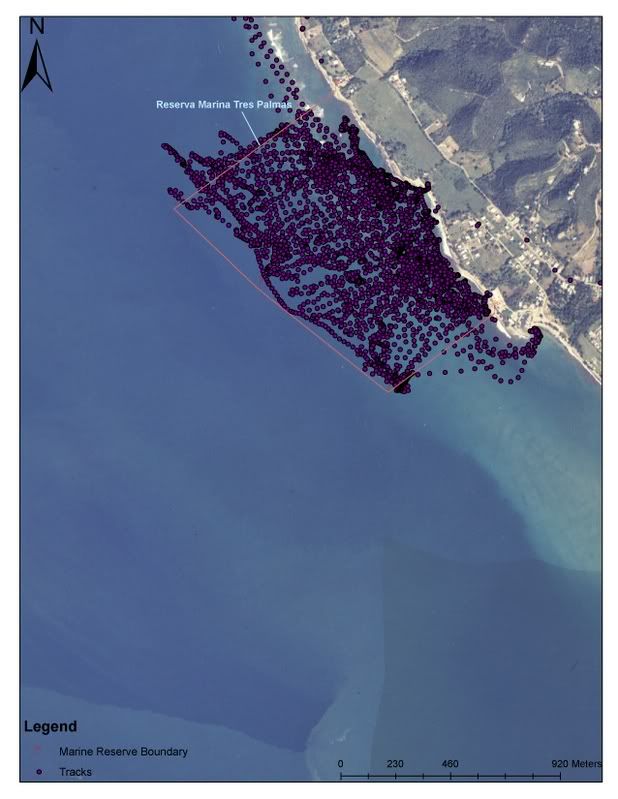
The image above contains all items discovered during the 9 days of monitoring. Each symbol represents a particular type of marine debris, as seen in the legend. Within the boundaries of the reserve 77 tires, 60 debris affected colonies, 7 cable areas, 5 trash patches, 3 extensive spots of wood, and 1 location with numerous blocks were found.
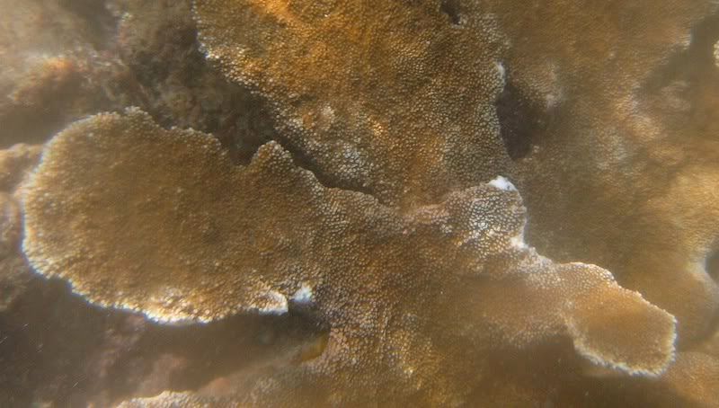
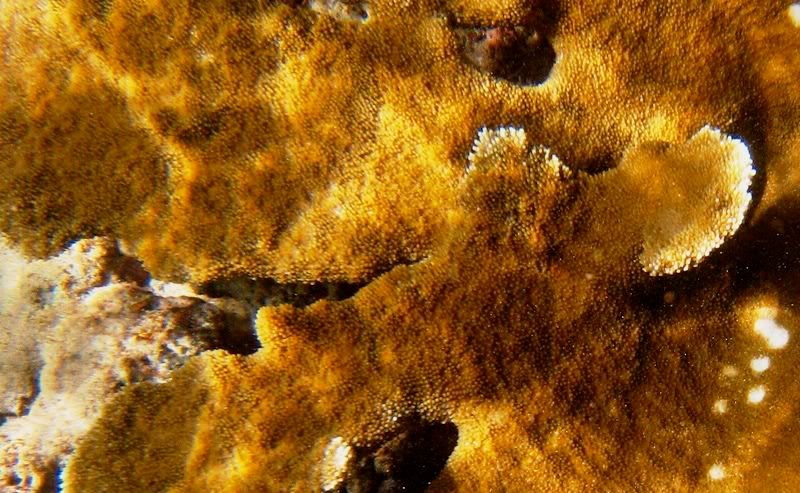
With exception to a few items, the majority were found within 200 meters of the shoreline. No items were found in water deeper than 35 feet. Most of the tires were found along the southern nearshore shelf of the marine reserve. This is interesting because last years project left the reserve ‘visually’ clean. After everything they found was removed they ended the fieldwork portion of the project. So, after 11 months of waves, wind, shifting sediments, and flooded quebradas new debris has been found in the reserve. Where did this debris come from? Was it buried all along and revealed after sediments had shifted? Did large winter swells push the debris back into the reserve? Did it come from the quebradas? Did it come from the south? Last years project comes to end with these unanswered questions.


No comments:
Post a Comment